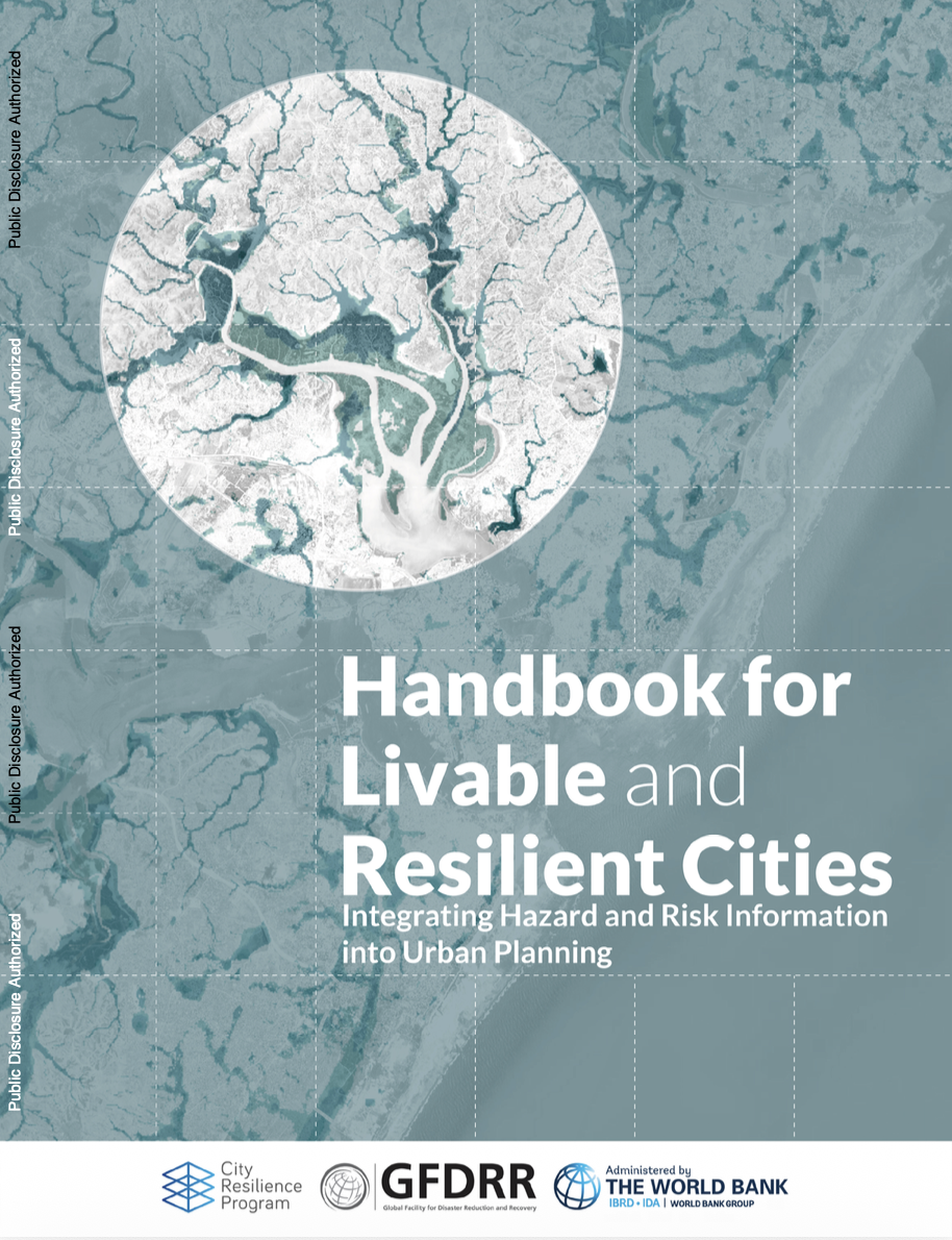


The rapid expansion of urban areas is transforming the map of the planet and exposing cities to an unprecedented level of vulnerability to natural disasters and climate shocks. In response, the World Bank Group and the Global Facility for Disaster Reduction and Recovery (GFDRR) have launched a reference manual to guide strategic urban planning decisions worldwide.
The publication, titled Handbook for Livable and Resilient Cities: Integrating Hazard and Risk Information into Urban Planning, aims to support strategic urban planning decisions globally by integrating hazard and risk information into the instruments that shape cities.
A new standard for urban decision-making
The accelerated growth of urban areas has created significant environmental, social and economic challenges. The main threats include greater exposure to extreme weather events, air and water pollution, the gradual loss of green spaces and the growing vulnerability of human lives, livelihoods and key assets to the impacts of climate change.
Against this backdrop, the handbook stresses that close collaboration between national and local governments is essential to raise livability standards through planning that actively integrates risk analysis.
Within the framework of this initiative, a livable and resilient city is defined as an urban environment and its peri-urban area capable of promoting green growth, social inclusion, safety in the built environment and shared prosperity. The priority objective is to mitigate and prevent the effects of natural hazards. Planned and sustainable development thus guarantees citizens access to healthy environments, affordable housing, basic services, employment, economic opportunities and low-carbon transport models.
Resilient urban planning must turn advanced risk analytics into executable and investable solutions and infrastructure.
The three levers of resilient urban development
To make these policies easier to implement, the handbook jointly developed by the World Bank and GFDRR provides legislators, administrations and technical staff with a framework structured around three priority action areas:
- Integrating hazard data into land use planning: methodical incorporation of metrics and technical risk information into zoning and land use instruments.
- Strengthening regulatory frameworks for infrastructure: reinforcing building regulations and public policy frameworks to ensure the deployment of resilient infrastructure.
- Attracting investment and urban solutions: direct conversion of risk analyses into viable urban projects attractive to public and private capital.
The document compiles lessons learned and cross-sectoral case studies, highlighting the central role of safe housing. Coinciding with the International Day for Disaster Risk Reduction, the promoting organisations emphasise that protected and adapted homes are the fundamental pillar on which cohesive, future-ready urban communities are built.
Access to safe housing is the indispensable pillar for guaranteeing the social and economic stability of the cities of the future.
Technical innovation and adapted regulatory frameworks
Implementing this kind of methodology requires adapting local regulations to the physical reality of each territory. Proper geospatial data collection and continuous vulnerability assessment make it possible to avoid occupying areas of high hydrological or geological risk, while guiding priority investments in urban rehabilitation and regeneration.
The handbook also stresses that resilience should not be understood in isolation, but as closely linked to the decarbonisation of the building stock and the promotion of clean mobility. Coordination between the different actors in the construction value chain, from developers and designers to regulatory authorities, is essential to build cities adapted to the climate demands of the present and the future.
Resilient cities promote green growth, built environment safety and equitable access to services and infrastructure.